Lyngen - English outing cards
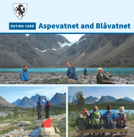
Aspevatnet and Blåvatnet
Surrounded by majestic peaks lies Blåvatnet, locally known as the Blue Ice Lake due to its intense blue colour. The clear blue colour is due to the glacier melt from Lenangsbreen glacier. The area is not only beautiful, but also geologically interesting with moraines and gigantic boulders. The neighbouring lake Aspevatnet, situated closer to the road, is also a colourful attraction. Here you can rest at the shelter and sign your name in the trim book. Happy outing and enjoy the view of the Lyngsalpene!
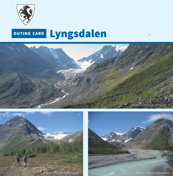
Lyngsdalen valley
Lyngsdalen is one of the gates to Lyngsalpan landscape conservation area, home to the highest mountains on the Lyngen peninsula. Here you will find the highest mountain in the county, Jiehkkevárri (1834 MASL). The valley is easy to traverse. You can safely cross the river by bridge over Váraš and explore both sides of the Lyngsdals river. Water flow in Lyngsdals river is especially powerful on warm summer and wet autumn days; a mighty sight along with the three glaciers Vestbreen, Midtbreen and Sydbreen. Happy outing!
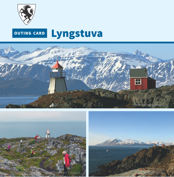
Lyngstuva
The far end of Lyngenhalvøya Peninsula is a spectacular area with majestic views of the landscape and fjords. A historic landmark and hub, Lyngstuva is an easy walk along the shore for the whole family. Why not test your fishing tackle on the way? On the way are cultural heritage sights such as Sami and Norse mounds, as well as pits where oil was refined from seals and whales. There is a rustic shelter and toilet at the start of the path. At Lyngstuva is a lighthouse and hut where you can spend the night.

